Thursday, April 05, 2018

Headed North, and to the Left Coast

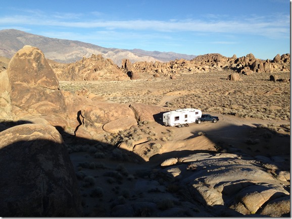
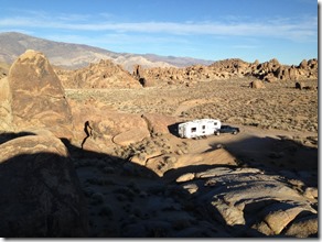
Reluctantly, we pulled out of our camp spot in the Alabama Hills above Lone Pine, Ca.IMG_9766

We turned northward again on highway 395, on the east side of the Sierras.  In winter, most of the roads across the mountain range are closed, so the choices are rather limited.  We stopped for fuel in Bishop, as the prices tend to rise with the elevation in these parts!  Normally, we might stop for a few days at the hot springs near Mammoth, although last year there was too much snow at this time of year and most of the roads were closed.  Surprisingly, that was not a problem this year,but with the ski hill still open and the Easter long weekend happening, I knew the crowds would be swarming the area.  So we carried on north to Bridgeport, which also has hot springs, but no real ‘destination’ resorts to attract larger than normal crowds.

There was lots of snow in the high country, but the roads were all bare and dry and the weather was reasonably warm.

IMG_9786IMG_9785

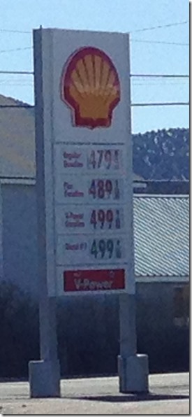
As expected, fuel prices were higher, with diesel going for $4.69 in Lee Vining.

IMG_9788

There were a lot of people at the hot springs at Bridgeport as well because of the holiday, but I managed to evade most of the crowds by showing up well before dawn under a full moon, then soaking till it warmed up after sunrise.  Fuel prices were even higher in Bridgeport, but fortunately we had lots of fuel to make it to Nevada again on the way north.
IMG_9807IMG_9795

We crossed back into Nevada at Topaz lake, and were soon in Carson City.  I tried to check out the Best Buy store there, but found it closed because of the Easter holiday Sad smile.

Diesel fuel however, was a reasonable $2.71, so we topped off the tanks again.  Lots of ‘wildlife’ adorns the roadside as you head on north towards Reno!

IMG_9814IMG_9813IMG_9812IMG_9810IMG_9809

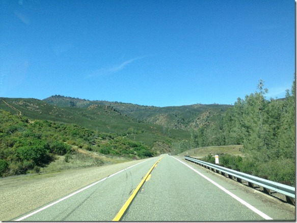
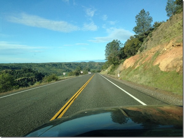
Back into California we went, to Susanville where we decided to head for the coast. A potential roadside overnight camp spot we had noted a year ago up near Eagle lake was inaccessible due to winter road closure so we ended up almost to Red Bluff on highway 36.  That road, though winding a bit was in good shape and traffic was very light.


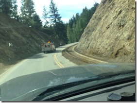
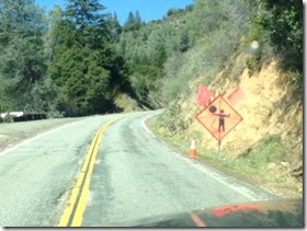
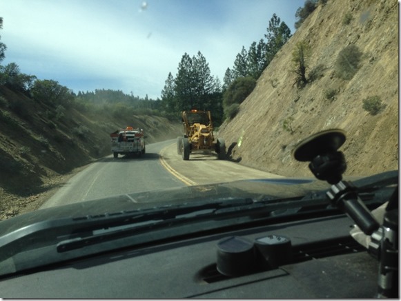
IMG_9846IMG_9841IMG_9838IMG_9836IMG_9822IMG_9818Next day, we continued west of Red Bluff, still on 36, but it has a lot more twists and turns than I had remembered, and a major reconstruction project in the middle resulted in a somewhat unexpected 3 hour delay, and a very rough section where the construction was.

IMG_9847IMG_9851Following a pilot vehicle through a couple sections.

IMG_9850IMG_9849IMG_9848

IMG_9856IMG_9855IMG_9853

I recommend avoiding this way for at least a couple of years till the construction ends.  In spite of that, it was a pleasant change from spending months in the mostly treeless desert to being in forest, and large areas of huge redwoods near the coast.

Now that we made it to the coast for the next phase of migration, the weather is of concern again.  Lots of rain is predicted for a number of days.  Is it worth the slower, more scenic option of following the beautiful Oregon coast, or would it be faster just to pick up the I-5 and head north?  Stay tuned.

Tuesday, April 03, 2018

Northward migration underway :-(

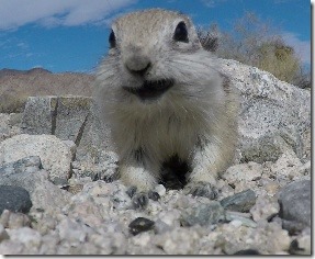
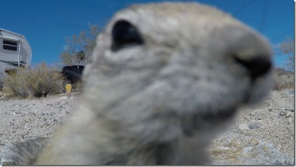
Missed some photos from my BLM camp spot on the south edge of Joshua Tree National Park.  These little guys were more than willing to model – for a few sunflower seeds.


imagevlcsnap-2018-03-23-17h53m00s495vlcsnap-2018-03-23-18h21m46s210vlcsnap-2018-03-23-18h22m02s174vlcsnap-2018-03-23-18h23m32s465vlcsnap-2018-03-23-18h27m50s571vlcsnap-2018-03-23-18h39m15s771vlcsnap-2018-03-23-17h54m03s235

Prices differ.  Before leaving Lake Havasu we got a 30lb propane bottle filled for less than half the price to fill the same one at the Chevron station in Lone Pine!  Lone Pine does have a dedicated propane place which is likely much more reasonable, and I should have known better than to get it filled at a gas station.

North from Lake Havasu, we hung a left and headed westbound on the I-40 through Needles to Barstow.  There was a very strong headwind all the way, and the overhead signs were flashing the warning.

 IMG_9759

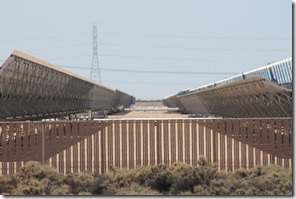
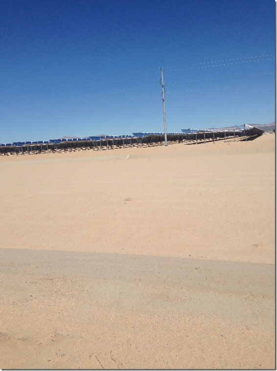
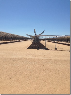
Food 4 Less right off the interstate in Barstow has the cheapest fuel in town, so we filled up there and carried on to the west on hwy 58.  There is a little wildlife viewing area at Harper Lake that has served as a quick and quiet overnight spot in the past.  However, the last time we had gone in there, the 8 miles of well developed washboard shook one of the trailers wheel covers off, and it had been crossed off our list of possible stopping places.  But coming by in November, it appeared the road was now paved!  Sure enough it was, so we were able to get down it to find our overnight spot.  The whole area is now pretty much over-run with new solar power developments.

IMG_9748IMG_9758

IMG_4469IMG_4468


While one can certainly argue the merits of clean, quiet, non-polluting energy sources, there is also a downside to these developments.   For the thousands and thousands of acres that these areas utilize, every last bit of vegetation is removed, and every last wild thing is excluded.  No more hares, desert tortoises, coyotes, and certainly nothing for the hawks circling overhead to hunt.

IMG_4467IMG_4465IMG_9756IMG_9754IMG_9753IMG_9752IMG_9751IMG_9749

Next day found us headed northward on 395, which seems to have become our favoured route the last few years.  I think it has something to do with the scenery, the hot springs, and the closure of the coastal highway at Big Sur.

Along the way we spotted this mobile Veterinary clinic on the move.

IMG_9761

image

At Lone Pine we headed up into the Alabama Hills and out Movie road for some very scenic boondocking.  Last fall’s spot was occupied, but a new location was every bit as scenic.

IMG_9771IMG_9772IMG_9766IMG_9764IMG_9767

We are doing our best to go as slow as possible on the northward journey, knowing that we can no doubt look forward to getting stuck in the snowbanks on the driveway at home.  This is the driveway we are looking forward to – photo taken BEFORE the latest storm!  (I think I have snowshoes and skis in the garage!)

IMG_0398


IMG_9770

One of the diversions used to waste time was a trip over into the edge of Death Valley National Park to a place known by various names, including the Jedi Transition.  I believe scenes from Star Wars were filmed here, thus the name.


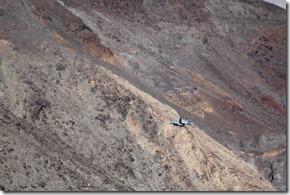
At any rate, it is a great spot for plane spotting.  Military jets, in particular!  They dive into this narrow, winding canyon, and fly by below the awestruck spectators who are watching from the viewpoint on the canyon rim.

IMG_4578IMG_4574IMG_4573IMG_4559

My camera cranked off a lot of images, but getting the aircraft in the frame and in focus takes a lot of practice, as the planes are flying at several hundred miles per hour, very close to you!

IMG_4533IMG_4498IMG_4492IMG_4491IMG_4485

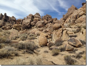
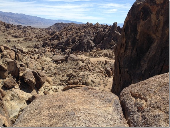
I did a bit of hiking around the Alabama Hills as well.

IMG_9783IMG_9782IMG_9781IMG_9780IMG_9777IMG_9775

I took a 360 degree photo here.  Click >Photo sphere from  Alabama Hills

https://goo.gl/maps/uzAySbv7JXx

After this – headed back for the left coast!