Tuesday, January 16, 2018

WHY?


First, some photos that got missed on the last post.

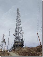
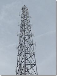
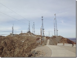
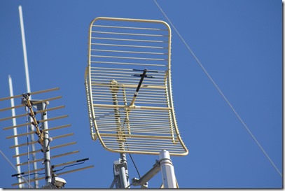
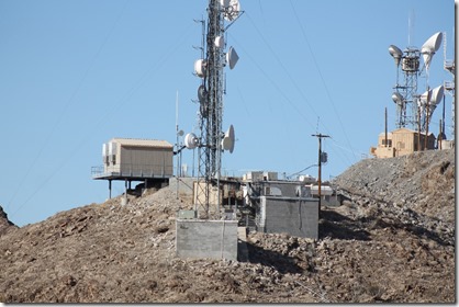
  The radio towers up at Telegraph Pass, just east of Yuma.

Hiked up there twice.  Very steep.

IMG_3898

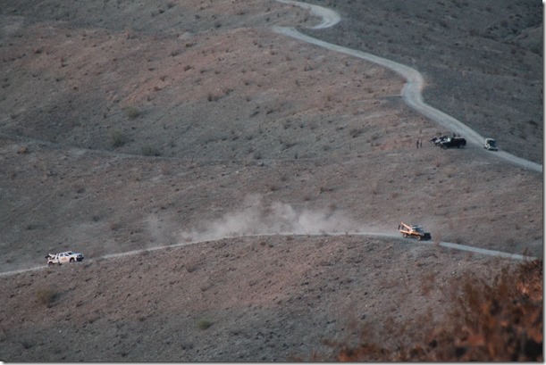
The two tow trucks needed to get the pickup off the trail. (Read the last blog post)
IMG_3900

After spending some time west of Yuma at Ogilby Rd, and east of Yuma out at Foothills, we wanted to try somewhere new.

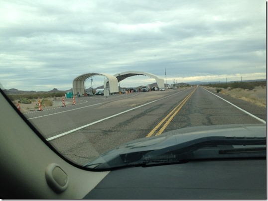
Well, new for this season anyway, but Ajo and Why came up next on the location lottery.  It was an uneventful trip down, with a stop mid way in Gila Bend for the monthly dump and fill.  The border patrol check station at MP 18 was checking northbound traffic, and many cameras were keeping an eye on southbound.
IMG_9305

We did a short drive up Darby Well road, but found the dust and washboard not much to our liking, so pulled a quick u-turn and headed further south to Gunsight wash, just south of Why and just north of Organ Pipe Cactus National Monument.

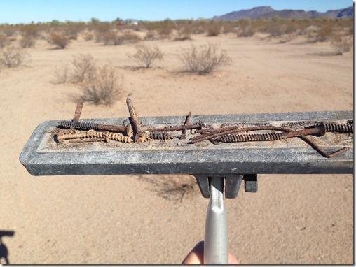
Our favourite spot from last year was occupied, so we picked a nice flat spot further out in the desert, with plenty of distance to the next rig.  Of course, after parking, all the nails and screws from past pallet burning became evident!  Out came the secret nail weapon, and the campsite was soon a safer place for tires.
IMG_9310IMG_9311

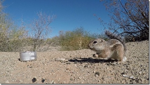
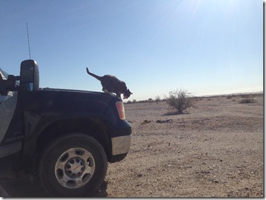
Hailey headed out right away to acquaint herself with the local fauna.

IM000043IMG_9307

As usual, much of the fauna only comes out under the cover of darkness.

IM000113IM000111

I finally got around to freeing the bike from it’s spot in the back seat of the truck.  There is some good biking around there on the mostly flat trails.  There are some hazards though, as a few years ago I was riding the bike there and got a flat tire from the cactus.  Turns out, you cannot push a bike with a flat tire!  I had to carry my not so featherweight bike back for 7km (4.5 miles)!  Since then, I have upgraded to puncture resistant tubes and have not had a flat since.  Keeping my fingers crossed.

IMG_9312

On a Sunday when the air force was not flying, I got the helicopter up for some quick photos.

vlcsnap-2018-01-08-13h13m11s303vlcsnap-2018-01-08-13h11m07s960

There wasn’t much low level air traffic in the area, but an A-10 did take an interest in us one day.  I found out that photos taken before the camera is turned on do not turn out that well, nor do photos of fast moving craft taken in macro mode!

IMG_3913IMG_3907

IMG_3912IMG_3910

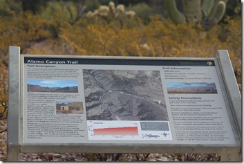
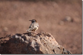
Went for a short hike up Alamo Canyon in the north end of the National Monument.  Much more lush and green vegetation there when compared to Gunsight Wash camping area.
IMG_3951IMG_3950

IMG_3949IMG_3945IMG_3937IMG_3936IMG_3935IMG_3930IMG_3928

On the way back from the hike, a detour was made a short distance east to fill up with cheaper fuel at the Desert Diamond casino.  Winds started to howl and visibility was very reduced in blowing dust.  On returning to camp, I hooked up the trailer just to anchor it against the wind.  Then the rain came!  The first rain in months!  And it was downright heavy at times, but didn’t last too long.

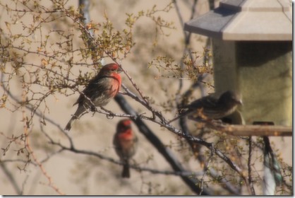
Although we had a nice, scenic, private spot out on the flats, there was very little wildlife there.  From past experience, and when I biked over for a look, there was always lots of birds and constant bird calls along the main wash.  So, the morning after the rain we made the short quick move over to the wash.

IMG_4038IMG_4006

vlcsnap-2018-01-11-12h00m50s910vlcsnap-2018-01-11-12h01m14s463IMG_4051IMG_4019IMG_3987IMG_3978IMG_3967

IMG_3971

IMG_4032IMG_4019IMG_4013IMG_9347IMG_3975

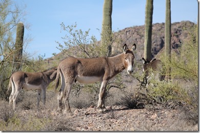
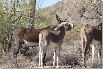
On a trip into Ajo, I took the scenic loop down Darby Well road, and came across this family of wild burros.

They were browsing on the leaves of this bush.
IMG_4078IMG_4080

They were stripping the thorns and bark off the Ocotillos!

IMG_4083image

And they were eating this cactus!

IMG_4072IMG_4079image

They must have pretty tough mouths and stomachs to make a living on that fare!

Went for a fairly long hike down Gunsight wash one day to where it intersects with another wash further down.

IMG_3961IMG_3957

No fresh evidence of undocumented individuals passing this way, but black painted jugs are a sure sign of such activity in the past.

IMG_9350

Turns out that Doug and Yuma had just left Darby Well road the day I did the loop drive, and then the Bayfield Bunch arrived in Why later on the same day I headed north Sad smile.  Rumour has it that John & Brenda are hanging their hats in the Bouse back country, and Wandering Willy might just be found among the building crowds along Plomosa road!

IMG_3902

P1081300

P1081298P1081296

Looks like we are off to Quartzsite, with a pit stop at Buckeye Hills Regional Park.  It’s my first visit, and no doubt it will be my last.  Unfortunately, the last day of free camping at Buckeye is the 21st of January, 2018.  After that it will be closed indefinitely while it is re-developed or possibly converted to some sort of ‘pay’ camping?

See you down the road.


IMG_1810a

Saturday, January 06, 2018

Stuck in Arizona!

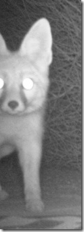
Both Wandering Willy and I had been finding strange droppings on our outdoor mats in the morning.  He of course, blamed my cat, but my camera finally caught the real perpetrator!

IM000145IM000146

IMG_3865IMG_3868IMG_3854IMG_3857

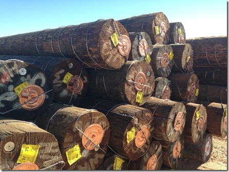
The huge pile of poles growing near the road finally stopped growing, presumably for the Christmas break.  I assume the wire wrapped around the bases of the poles has something to do with grounding them –  or for lightning protection?

IMG_9204IMG_9205

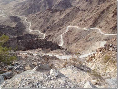
It was decided to change time zones for Christmas and New Years.  Last year we spent this time camped at Mittry Lake so we could spend time hanging out with relatives in Yuma for the winter.  I also checked out spots at Redondo Lake and Fortuna Lake, but found one unappealing, the other crowded.  So we ended up in the desert out west of Foothills which worked out well.  Far enough out to be quiet, but near enough to all the amenities to be quite convenient.  The spot provides a good view of all the communications towers up on Telegraph pass, and an interesting but steep access route.

IMG_9262IMG_9198

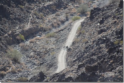
Next day, it was discovered  that the entire trail up there is actually a very narrow road, all concrete.  This made for good footing, but very steep in places.  Unfortunately, the best parking spots just off the interstate are well marked with no parking signs, so it is a rough up and down hike of over a half hour just to get to the actual trailhead – which has porta potties and a garbage dumpster.

IMG_3892IMG_9226IMG_9224IMG_9218IMG_9217IMG_9216IMG_9215IMG_9214

I thought I had my good camera in my pack, but when I got up there I realized that all I had was my iphone Sad smile.

But still, I did a 360 degree photosphere from the top (Google now just calls them Streetview?)

Check it out HERE :  <------

We did the social circle in Yuma with lots of relatives from all across Canada and the Caribbean.  Some of the younger crowd managed to get a rented car stuck in the sand out in the desert, which necessitated a rescue pull from the big GM! 

Friends and new full-timers (and soon to be bloggers?) Ernie & Deb pulled into town.  They spent a few nights in a park to facilitate cooking of a large bird for celebratory purposes, then joined me out in the desert.

IMG_9267IMG_9256IMG_9266IMG_3880

Next thing you know, we were all hiking up the Telegraph Pass trail again.  This time I had my camera!

IMG_3891IMG_3890IMG_3874IMG_3887


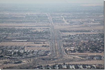
Looking first east, out towards Wellton, and west down I-8 and 32 Ave in Yuma.

IMG_3878IMG_3876

At the last minute, I decided to continue my annual tradition of attending the Leafs/Coyotes game in Phoenix, which always seems to fall near the same time of year.  I headed in to Phoenix early to I could stop in at Fry’s Electronics to pick up a joystick!  Google Earth has a built-in flight simulator feature, but I have never had a fast enough connection nor enough data to make this worthwhile previously.  Now I have both!  You can fly using a mouse and/or keyboard, but I find that counter intuitive and prefer a joystick.  Though I have several at home, I wanted to get a cheap one for this purpose while down south.  Well, things have changed.  I thought I could grab one at any Walmart or Radio Shack, but no one uses them any more apparently – each modern gaming device having it’s own special controller.  I checked Walmart, Best Buy, Target, GameStop, Az Market, and a few Dollar stores in Yuma without success. I found one at Fry’s in Tempe, then headed for the game.  I got there early to find a good parking spot, then spent an hour at nearby Cabelas, looking at the latest gear.

IMG_9279IMG_9280

It was a good game, especially for the thousands of Leaf fans in attendance, with a final score of 7-4.  They had a moment of silence for the passing of legendary Leafs goaltender Johnny Bower.  And local boy Austin Mathews scored on his home town Coyotes as well.

One day, we took Ernie & Deb’s jeep and headed for the hills back of us to hike the Jester’s trail.  Part way up on a particularly steep and narrow ridge, there was a stuck pickup truck stuck partially blocking the route.  While attempting to go around it, we partly slid off the other side!

The banks are much steeper than they appear in the photo and video – courtesy of Ernie & Deb!

image

With a locked universal and a winch tug from a side by side from Red Deer, and me pushing from the downhill side, we were soon back on the road and past the blockage.  But the epic was not over!  We watched the rest of the action from various spots on Jester’s trail, high above.  Apparently, the original driver had called a tow truck, which eventually arrived on scene.  But it was soon stuck in the very same spot we had been with the jeep.  Not daring to move for fear of tumbling down a very long ways, they called for a second tow truck.  It was able to approach from the other side, but that required about 1/4 mile of backing up, both up and down some very steep and rough terrain to finally remove both stuck vehicles.

Top of Jester’s trail.

IMG_9289IMG_9286IMG_9282PC291293


ATV traffic had increased somewhat where we were camped during the holidays, but not as much as at Ocotillo Wells, where the constant dust eventually chased John & Nicole out of the Borrego area to wait things out in Indio.  There was also a lot of ATV and off-road travel out in the Ogilby Road area when I went out there later to check on Wandering Willy and John & Brenda.

With all the holiday festivities behind us, Hailey and I decided to pull up stakes and head out!  Why!  Why, Az of course.